2019: The Development of Modeling System for Urban Flood Management and Forecasting Project
13/07/2021
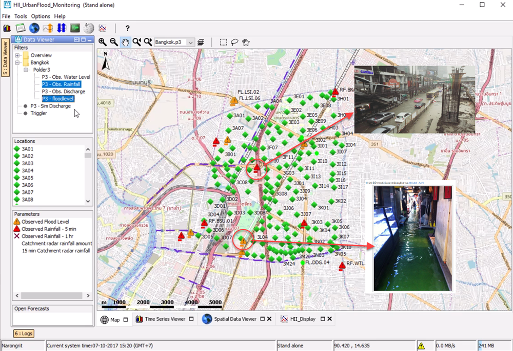
HII has utilized data from Urban Flood Model to develop urban flood warning criteria. The urban area also includes the economically important area. This model applied the country-wide near real-time rainfall forecasting data and real-time measured data from the telemetry system to set the warning criteria. This forecasting system is applied in conjunction with topographic data, city plan, traffic map, flood risk area, and water resources management data e.g. hydraulics infrastructure to create a Decision Support System (DSS).


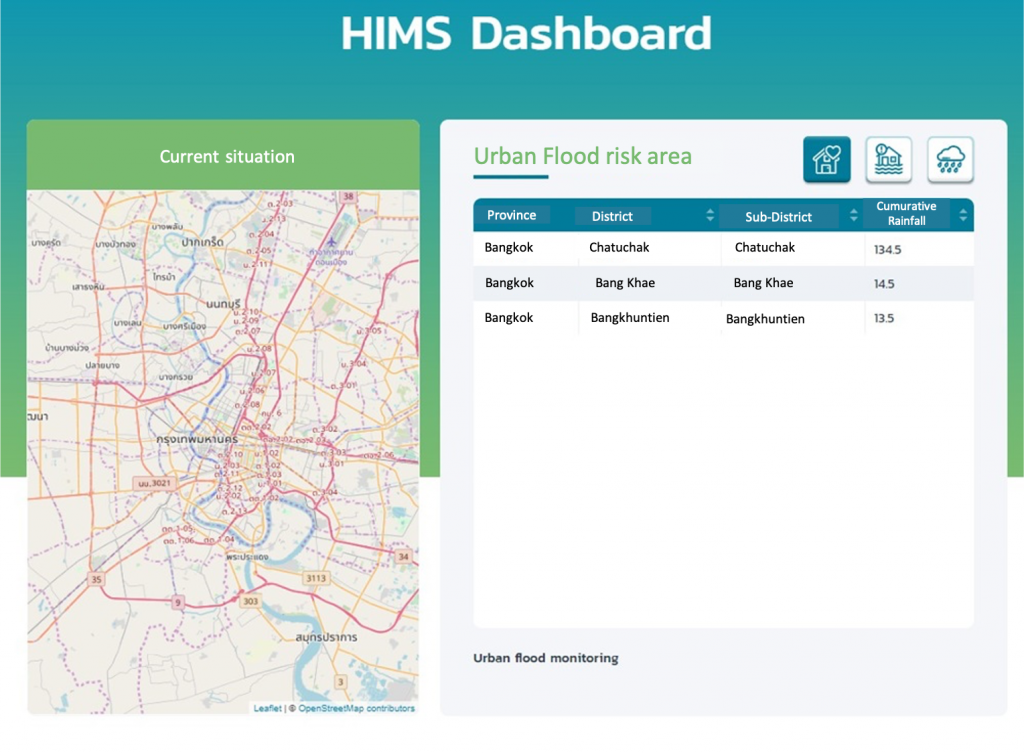
In 2019, HII has developed a pilot project in Bang Khen and Chatuchak district, Bangkok. In this project, the HII has integrated rainfall data, water level, and flood information to create warning criteria, and develop the visualization system that can alert for the flood. At the same time, HII staff had developed their analysis and flood forecasting skills in the urban areas which can later expand the research outcome to cover the whole country in the future.


The seminar on Urban Flood Forecasting System by experts from Hydro-Informatics Institute and Department of Royal Rainmaking and Agricultural Aviation on 11 October 2019. In the seminar, experts discussed and exchanged their experiences on the solution of the Bangkok and Singapore floods in the urban areas.


