Collaboration with Japan
28/10/2020
The collaboration with Japan on developing flood survey and monitor system
1. Automated Telemetry
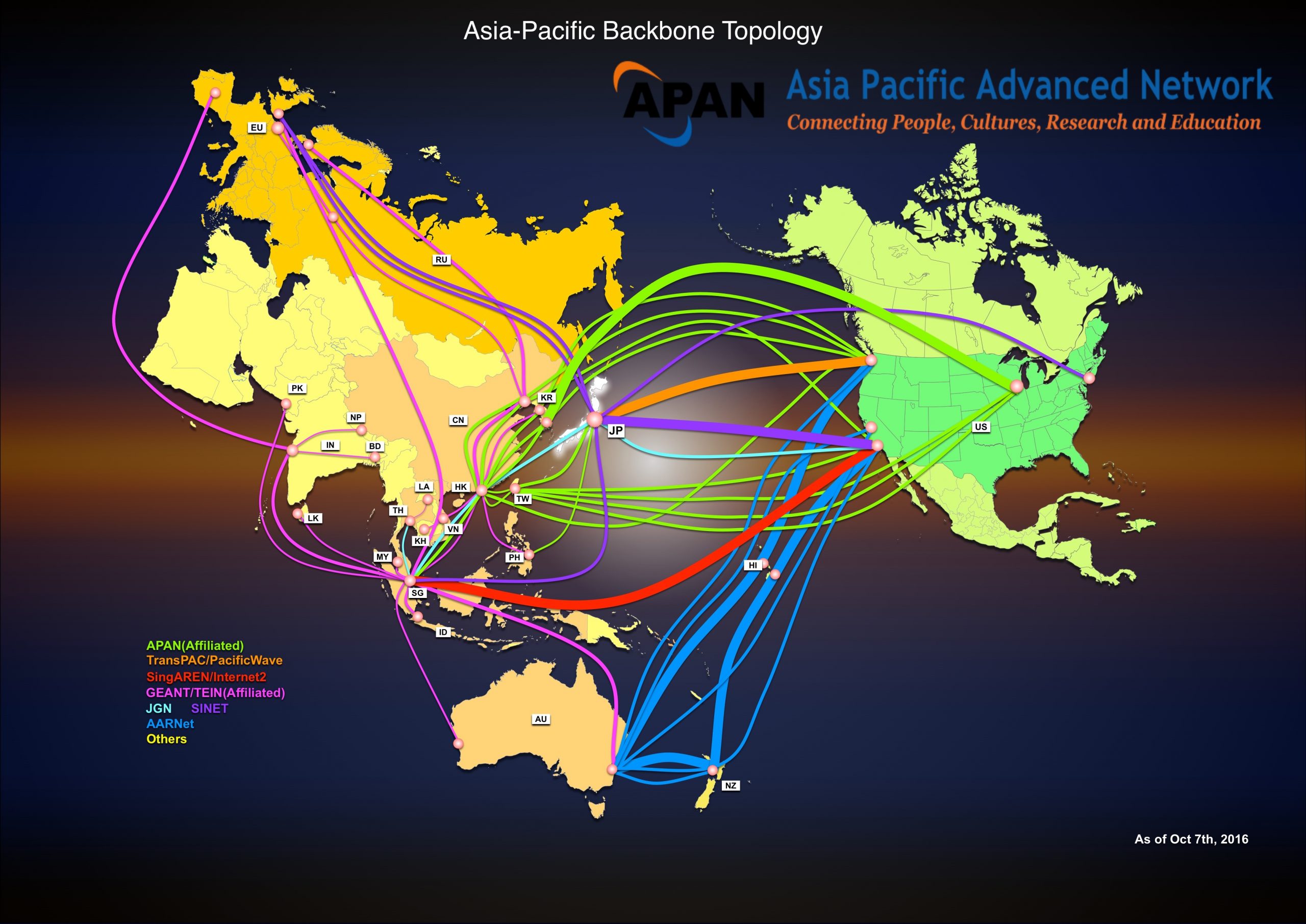
In 2003, HII has started telemetry research with the collaboration from the National Agriculture Research Organization (NARO), Japan, in the “Field Server Workshop”. Field Server is the low-cost high-efficiency remote sensing technology. It is adapted to use in the context of Thailand under the Agro – Informatics Network and collaboration from Asia Pacific Advanced Network (APAN)’s Agriculture Working Group. The establishment of “Field Server Forum” was created among interesting agencies.


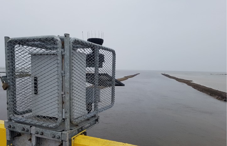
Later, HII has continued developing telemetry system in order to monitor weather and water levels from remote stations. HII’s telemetry system consists of several sensors to measure water level, precipitation, temperature, humidity, atmospheric pressure, and solar radiation. The system automatically links all data through the transmission system (e.g. 3G, GPRS) of local network providers and satellite communication system. The data from over 900 HII’s automated telemetry station are displayed at www.thaiwater.net. These measured data are being used to support the water situation analysis necessary for effective water and disaster management and flood warning system.

2. Global Navigation Satellite System (GNSS) and Continuously Operating Reference Stations (CORS) installation in Thailand
During 8 – 10 February 2015, H.E. General Prayut Chan-o-cha, Prime Minister of the Kingdom of Thailand has a meeting with H.E. Mr. Shinzo Abe, Prime Minister of Japan regarding Global Navigation Satellite System (GNSS) and Continuously Operating Reference Stations (CORS) installation in Thailand. The government of Thailand and Japan intends to cooperate in the installation of GNSS CORS by satellite positioning technology to create high-accuracy maps to be used in flood management. On 13 February 2015, the cabinet has approved to established Thai-Japan working group on the development of GNSS CORS by assigning the Ministry of Higher Education, Science, Research and Innovation to be the main coordination with the Ministry of Defense, Ministry of Interior and the Embassy of Japan in Thailand.
Hydro-Informatics Institute (Public organization) or HII under the Ministry of Higher Education, Science, Research and Innovation has collaborated with Department of Disaster Prevention and Mitigation under Ministry of Interior, and National Institute of Metrology (Thailand) to establish “Global Navigation Satellite System (GNSS) Continuously Operating Reference Station (CORS) Network in the Risk Area project” in 2015 and installed 6 CORS stations at Prachin Buri Province, National Institute of Metrology (Thailand), Samut Prakan Province, Ang Thong Province, Chachoengsao Province, and Nakhon Pathom Province in order to monitor and provide water level information for risk management in the central Thailand. The land survey data from GNSS CORS including positioning, level, and atmosphere data, is precise, accurate. It gives various beneficiary to the country regarding survey development, information support on R&D, architecture, high precise mapping, resources and disaster management.


Currently, the Department of Lands, Department of Public Works and Town & Country Planning, Department of Disaster Prevention and Mitigation, National Institute of Metrology (Thailand), and Hydro-Informatics Institute (Public Organization) already deployed 285 GNSS CORS stations which covered all over Thailand.