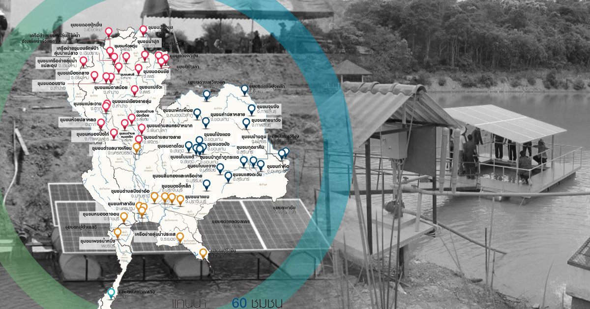
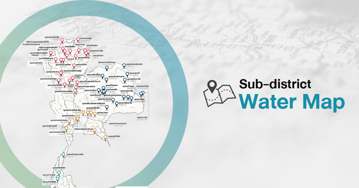
Sub-district Water Map
03/04/2020
High-definition map covering sub-district level area will visualize local information regarding geography, basic infrastructure, and large – medium – small scale water sources in responsibility of Local Administration.
This Sub-district Water Map will be a tool for Local Administration to:
- Oversee the problems of each sub-basins
- Integrated management and development as a network
- Complete and modernize local water resources database
- Effectively plan local water resources management and development
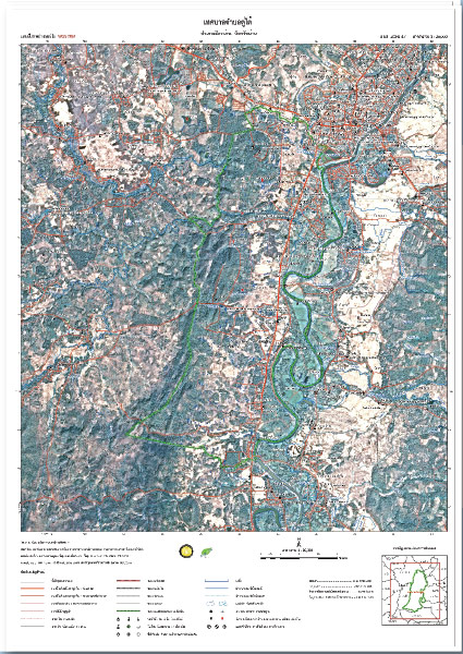
Topographic Map 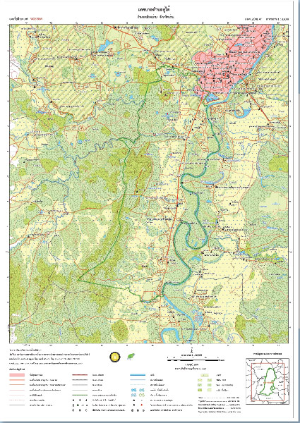
Satellite Image Map
Achievement of the Project
- The implementation of science and technology as water management tools
- Self-dependent concept, by “Understand” the local context, “Learn” how to solve the problem, and “Action”
- Ensure the security of “Water-Food-Energy Nexus”
- Good Practices site for expansion to other communities