2021: High-Tech Development and Informatics Systems for Water Resource Management
08/02/2024
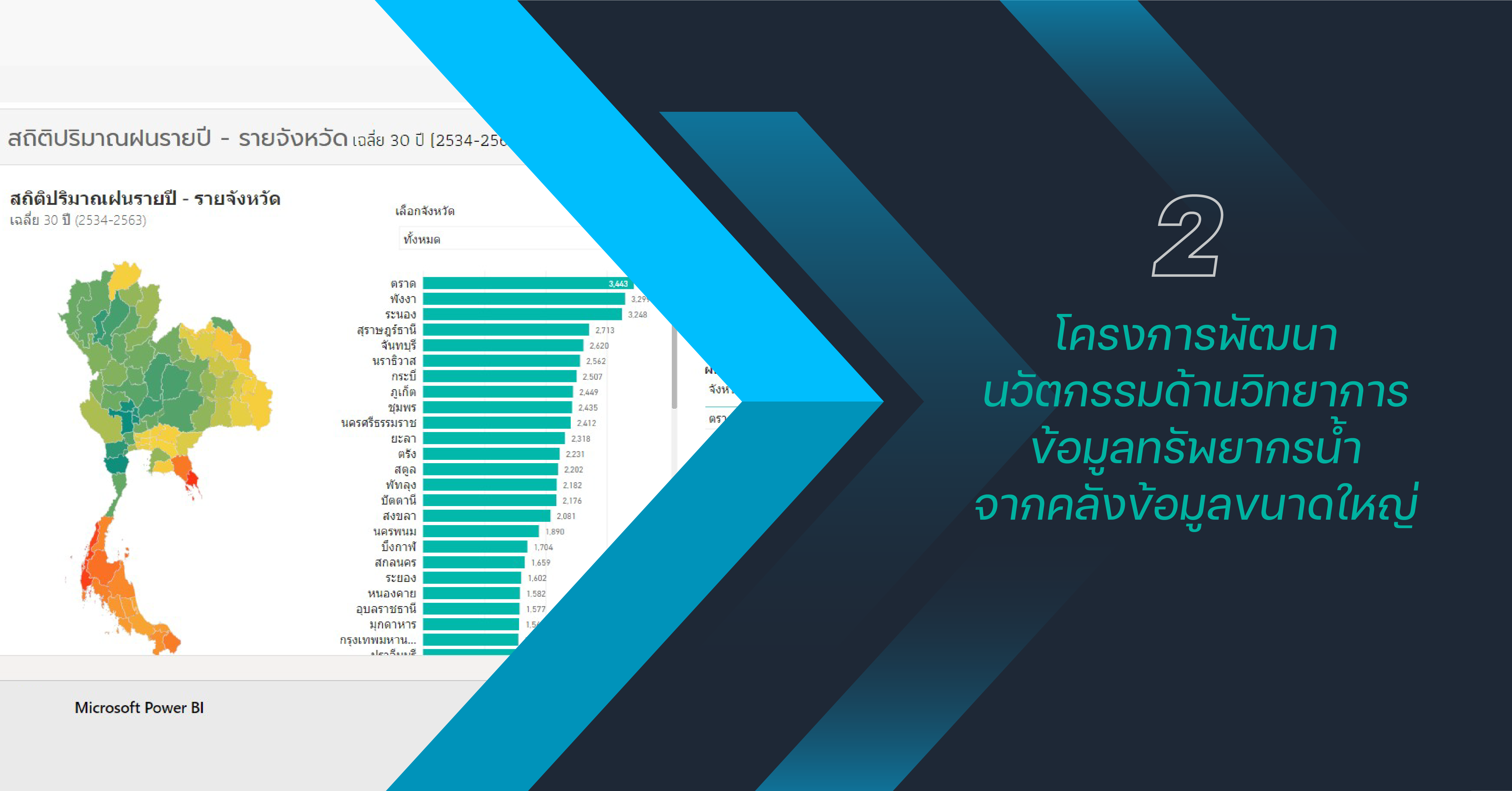
The project aims to enhance and optimize water resource management through the development of advanced technologies. The focus is on improving the efficiency of systems supporting water management, disseminating knowledge, and expanding the utilization of S&T in water resource management both domestically and internationally. The initiative involves the sharing of expertise, information, and ideas, fostering the development of personnel and accomplishments in water resource management. Key areas of focus include climate change, large-scale database management, aiming for global recognition and sustainable development. In the year 2024, the following activities were undertaken:
Development of a versatile water survey system with multiple vessel configurations
The development involves creating adaptable designs for unmanned surface vessels, allowing for flexible usage tailored to the diverse nature of water bodies, ranging from small to large. The vessels are designed to accommodate various user needs by installing survey equipment based on the specific requirements of different stakeholders. This facilitates the collection of water data, enabling efficient analysis and strategic water management planning. The system is designed to be responsive to the characteristics of each specific geographical area, encompassing all types of water bodies.

Application of Satellite Rainfall Data for Operational Flood Forecasting System – Phase 3
The project focuses on refining the statistical bias correction system for rainfall data obtained from the Global Precipitation Measurement (GPM) satellite, covering the geographical extent of Thailand. This enhancement aims to seamlessly integrate satellite-derived rainfall data into decision support systems for more efficient and accurate flood forecasting. The ultimate goal is to improve the effectiveness and precision of the decision-making process regarding flood forecasting.

Development of a Precipitable Water Vapor or PWV Mapping System for Monitoring and Forecasting Climate Changes
The project is an advanced research study aimed at enhancing the efficiency of estimating atmospheric water vapor using data from the Global Navigation Satellite System (GNSS) CORS covering Thailand. It incorporates multi-GNSS satellite signals (GPS, GLONASS) by integrating the CORS network with relevant organizations. Alongside meteorological data from ground-based telemetry stations, the analysis focuses on understanding patterns of accumulated atmospheric water vapor during seasonal transitions, particularly the rainy season. This leads to the development of a Near Real-Time Precipitable Water Vapor (PWV) mapping system, supporting the enhancement of weather forecasting models for more accurate predictions of weather and rainfall. The outcomes are expected to benefit agriculture and water management planning.

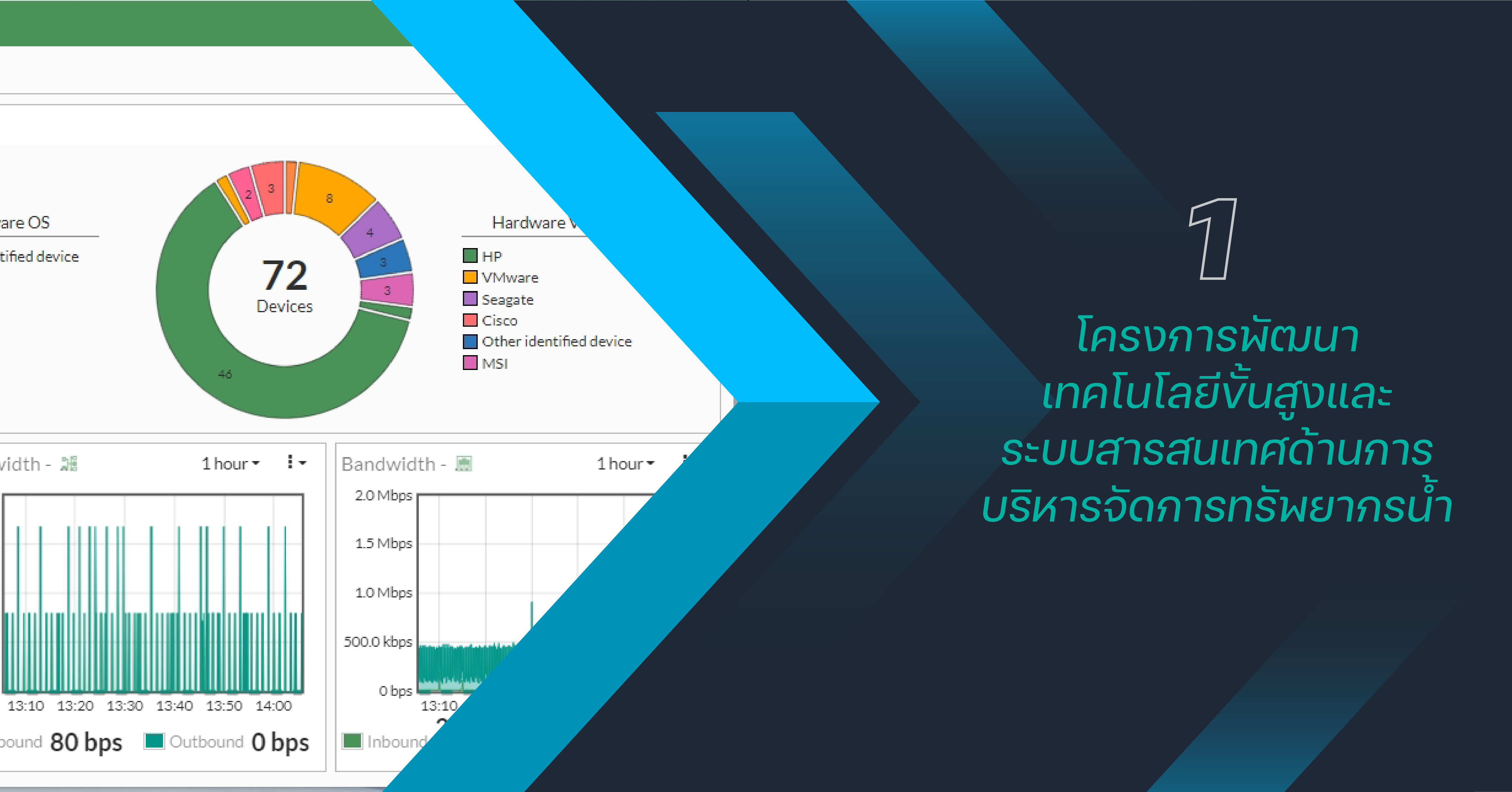
Development of a Disaster Recovery Site for National Hydroinformatics Data Center: NHC
The project aims to establish a disaster recovery site to ensure the National Hydroinformatics Data Center or NHC can recover and function as an alternative data center in the event of damage or risks resulting from disasters or abnormal events. This involves organizing the computer network and centralized data storage units for cloud computing systems. Additionally, the design and implementation of a Cloud Computing system using OpenStack technology will be carried out. The project also includes the development of a monitoring system to create a backup data center or DR site. The plan encompasses the development of a recovery system and testing the entire process to support seamless operations in the event of damage to the primary system, following the developed plan.

Development and Enhancement of Geographic Information System (GIS) Data for Systematic Management
The project involves the development of a Geographic Information System (GIS) called the GIS Data Service. It commences with the collection of various forms of geographic information, studying data structure models, and categorizing geographic information into 9 main groups. Subsequently, the design and development of the database system take place, along with the installation and configuration of relevant software. The project includes the migration of data from the existing database, importing new data, and comprehensive testing to ensure accurate functionality.


