2020: Hydroinformatics and Hi-technology Development for Water Resources Management
08/02/2024
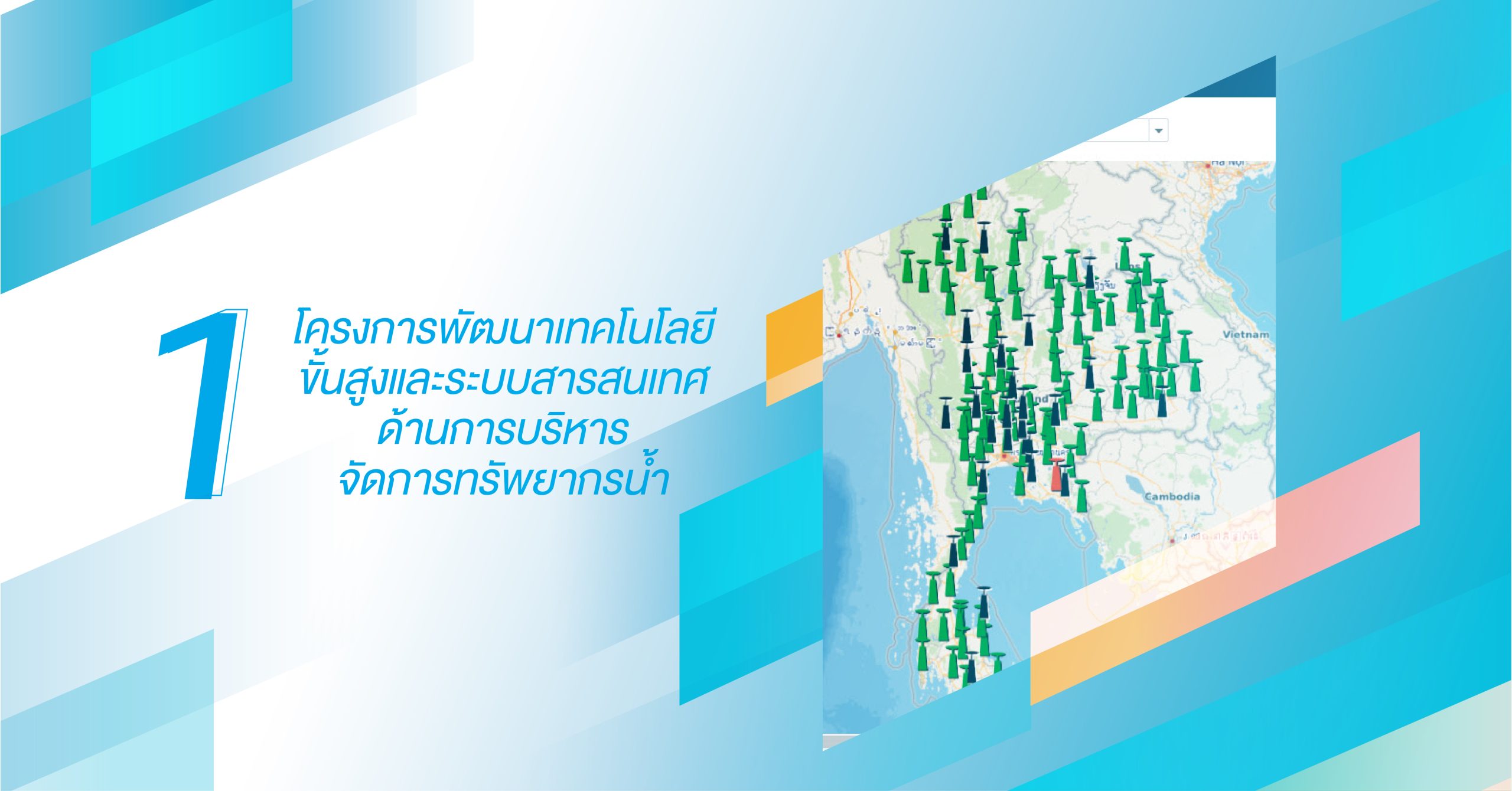
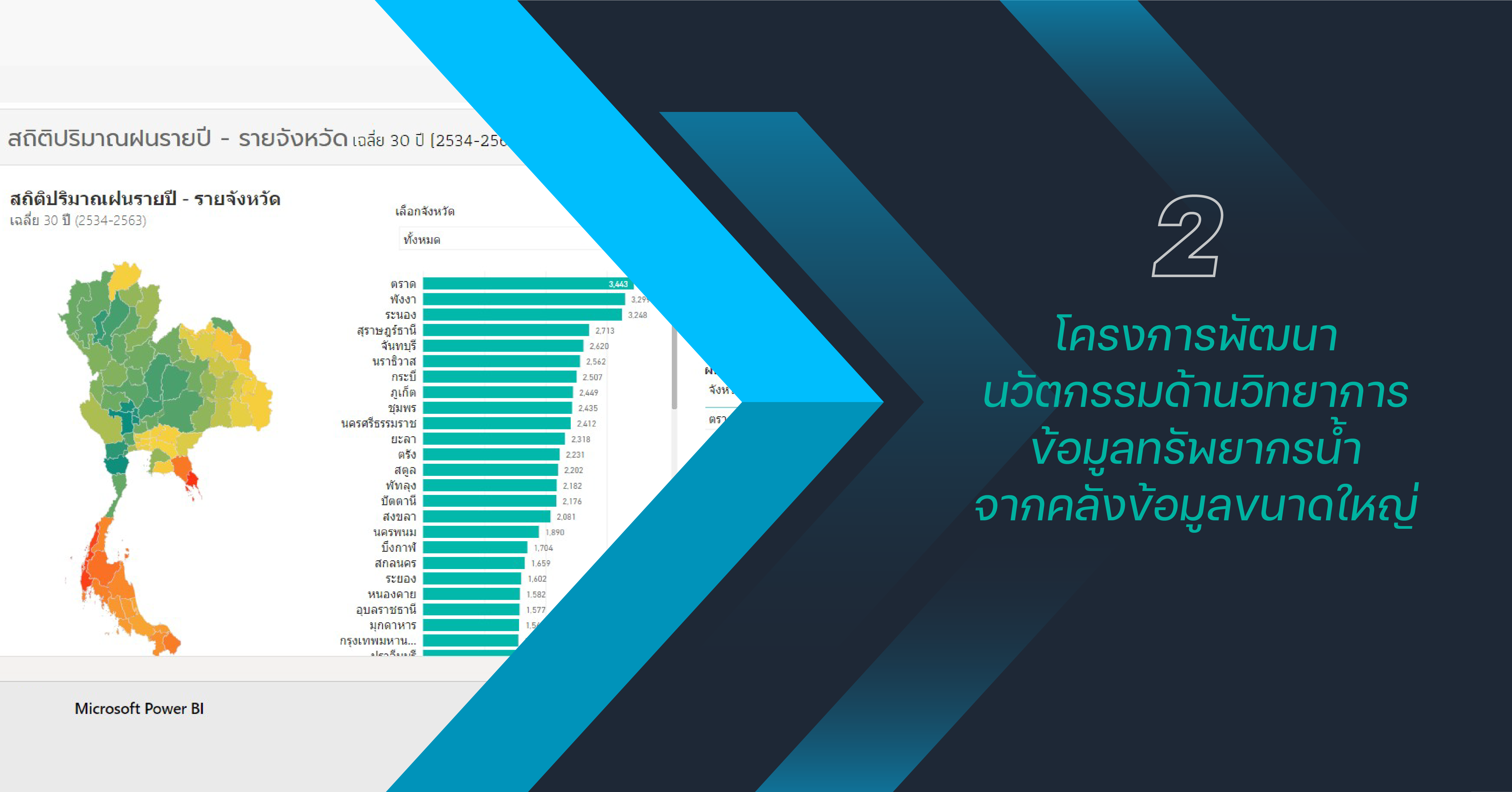
This project aims to enhance National Hydroinformatics Data Center (NHC) by develop and improve support system on water management, including knowledge transfer, and expanding the use of science and technology in water resources management, both domestically and internationally. This project also involves in knowledge exchange on expertise, data, and personnel development idea related to water resources, climate change, and large-scale databases management to be recognized and sustainable on a global scale.
NHC enhancement and improvement on database capacity can support the expansion of the existing operation system, amount of data from various agencies, and better analyze the data, as well as solve and identify the problem in timely. Thus, the development of NHC is needed to enhance, and development for improve the operational and data capability expansion. This enhancement and efficiency improvement initiative includes:
- Development the NHC system
- Database improvement
- Improve system and API security
- Tools development to support system management
- Improve report system
- Improve data service systems


Improvement of GNSS CORS on Thailand’s leveling and time adjustment, including continuous receive satellite signal.
Enhancing the efficiency of data management and analysis by developing GNSS software to support network connectivity from satellite signals (GNSS) from related agencies (Department of Land, Department of Public Works and Town & Country Planning, Royal Thai Survey Department, and Hydro-Informatics Institute) to cover Thailand nationwide, totaling 235 stations, make this enables use data from the entire country to effective surveying, mapping, and research purposes.
The process was to procure a server computer and install software in order to configuration and customize the GNSS CORS station to be able to work with the original software system of HII. HII also test the functionality of the GNSS software and others CORS stations to see the linkage of all stations.

Develop a water survey system (Type 1 and verity identity).
To develop the prototype structure and operational control in boat hydrographic survey for various measurement device installation according to specific project. This will enable the adjustment of the survey system to suit different tasks and convenient for transportation.

Enhance the efficiency of the water monitoring, analysis, and management system.
By optimizing short-term weather forecasts to monitor severe weather conditions, improving the rainfall estimation system, 1-3 hours in advance by using rainfall data from radar that covering the entire country, including improve the decision support system to predict flood and water management in the eastern region by improve meteorological and hydrological models, resulting in more accuracy in predictions in oceanographic models, early warning systems in the Gulf of Thailand, and water quality models.


